08:06:11, Georgia, 32° 51.189’N, 84° 28.874’W – The Sprewell Bluff State Park Picnic and Recreation area along the Flint River is your starting point for this loop hike that will take you through an area of the Park that visitors seldom see. The hike is only about 3 miles but it’s strenuous and you’ll need a hand-held GPS and plenty of drinking water.
Walk along the Flint River against the current, from the parking area at 32° 51.189’N, 84° 28.874’W. Pick up a trial that climbs a ridge to a couple of observation decks. Continue on the trail as it parallels the river. Take time to veer off and inspect a sandbank at 32° 51.426’N, 84° 29.375’W. Sprewell Bluff was once the epicenter of the Creek Indian Nation. There could still be arrowheads lying around.
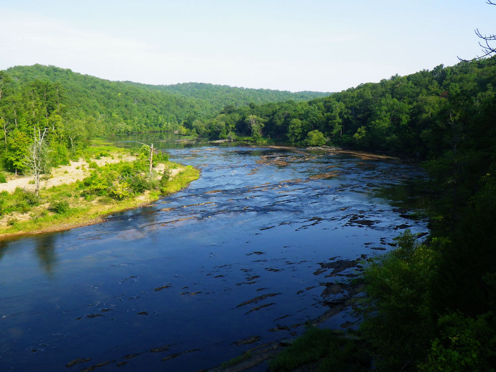
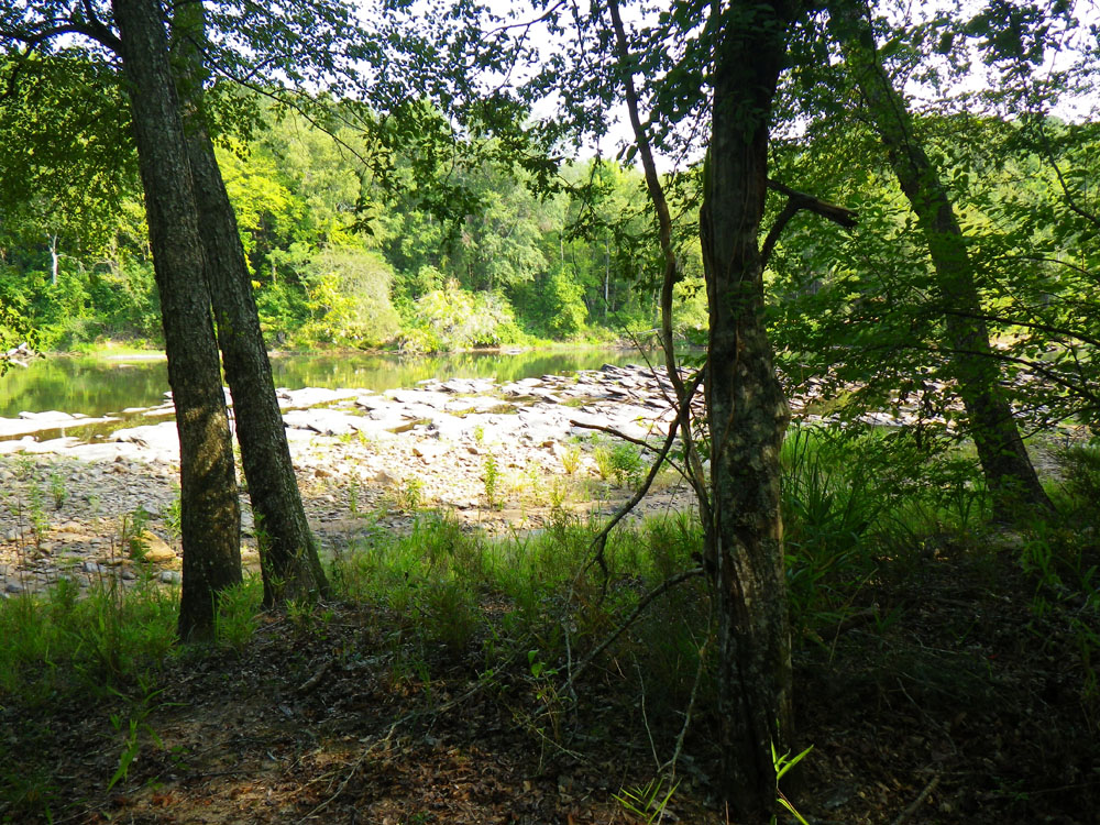
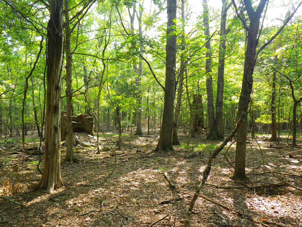
When you’re done exploring the sandbank, head back to the trail and continue further along the river. The Flint is beautiful at this stretch with exposed jagged shoals cutting across the water but don’t let that hypnotize you as it does most folks. Instead, turn your gaze to the forest and the rising hillside. You’ll see small piles of rocks scattered along the forest floor. Leave the safety of the blazed trail and follow the rock piles up the hillside.
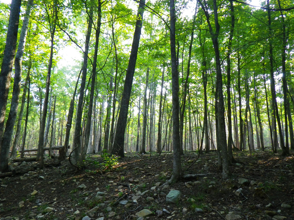
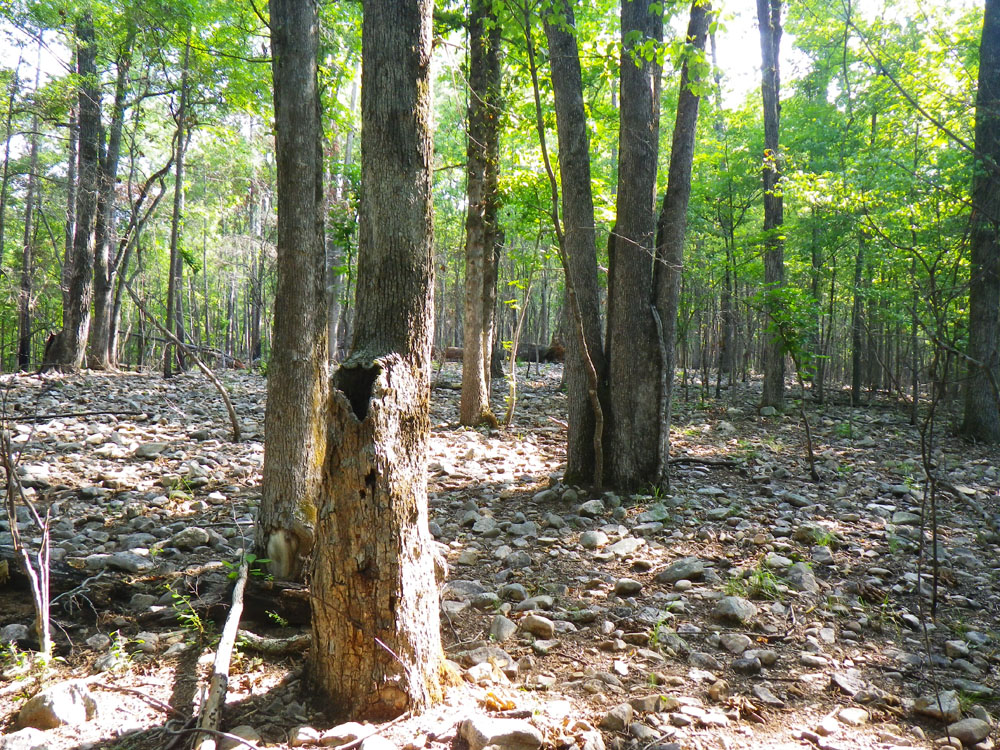
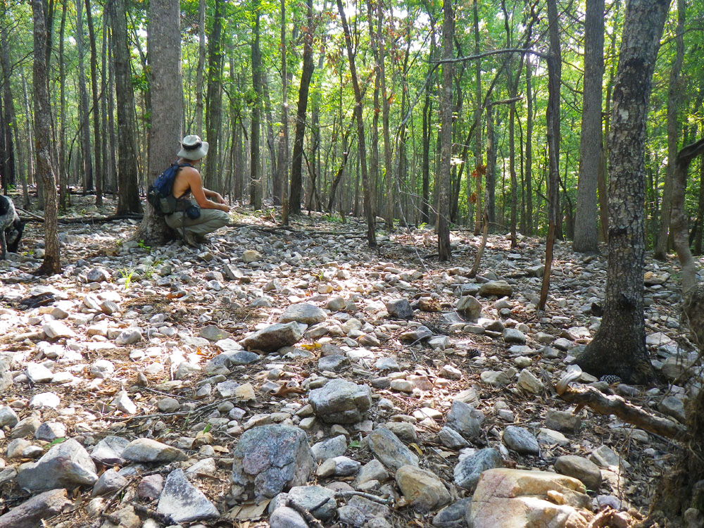
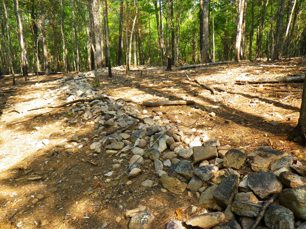
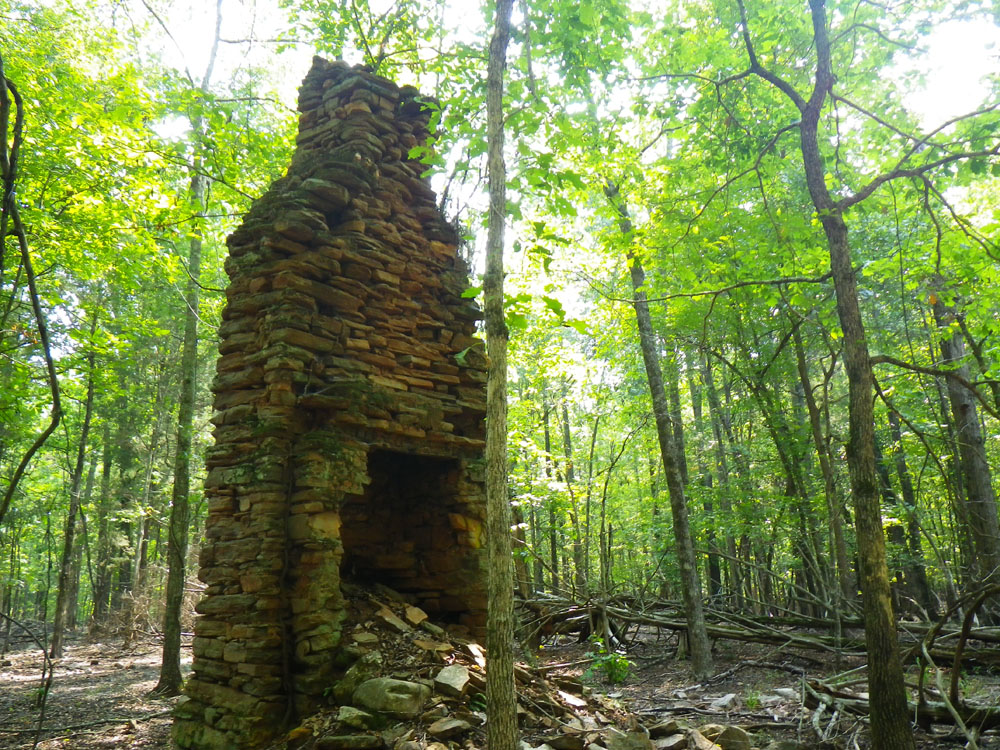
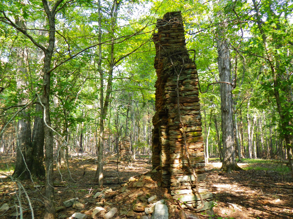
As you climb higher the entire forest floor transforms into a rock bed of white and cream colored stones. It’s magic. I bet the Creeks had a special name for this place. Look around. You might find something left behind from the far distant past. I discovered a mysterious rock wall. If you find it follow it to your next waypoint at 32° 51.806’N, 84° 29.008’W and the remains of a homestead that was built more than 150 years ago at least! What’s left are two outstanding stone chimneys rising to greet you in the silent rock bed forest.
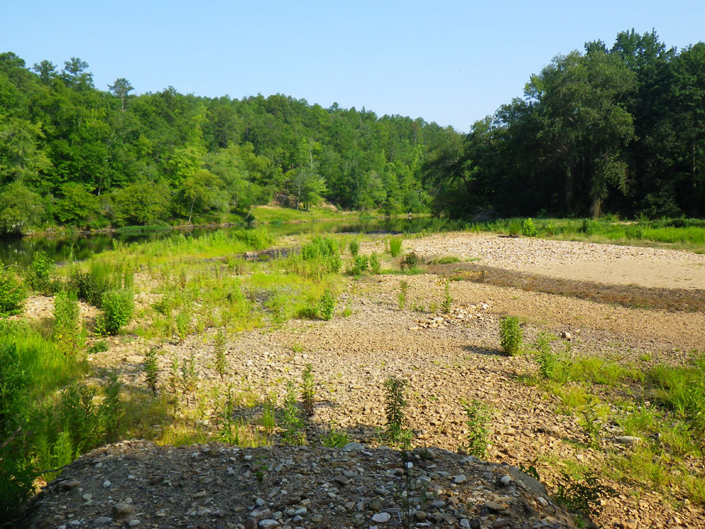
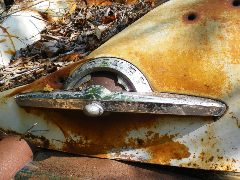
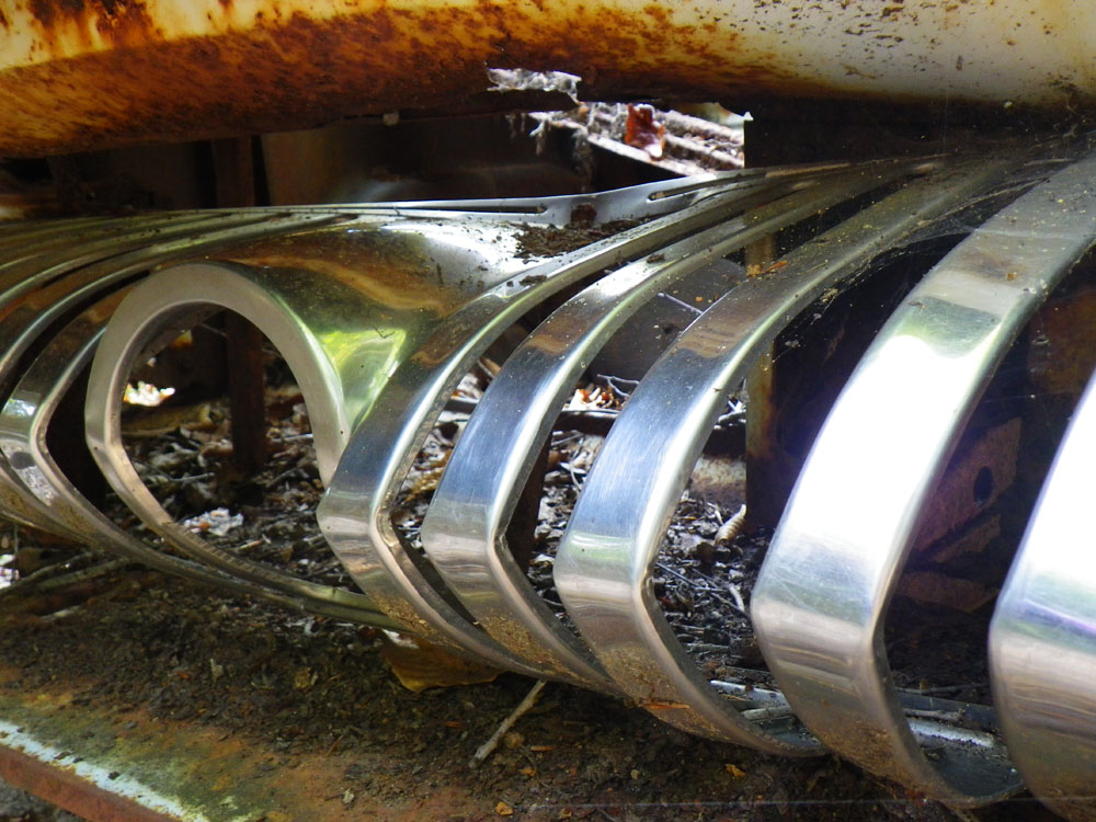
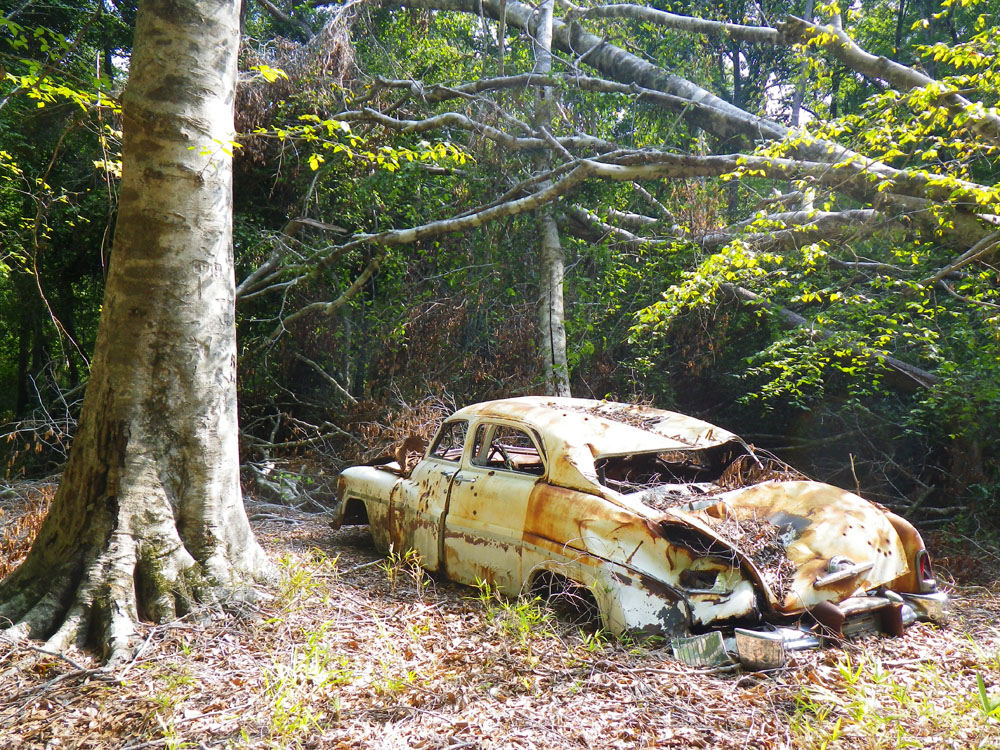
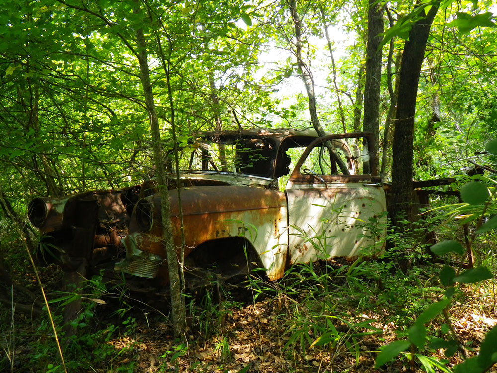
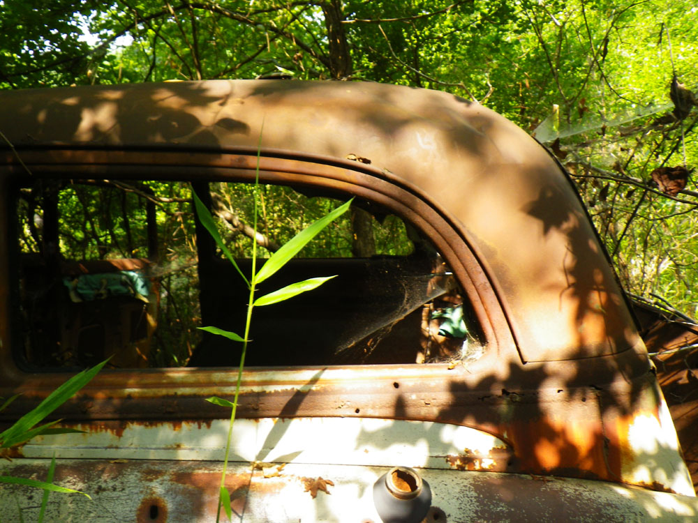
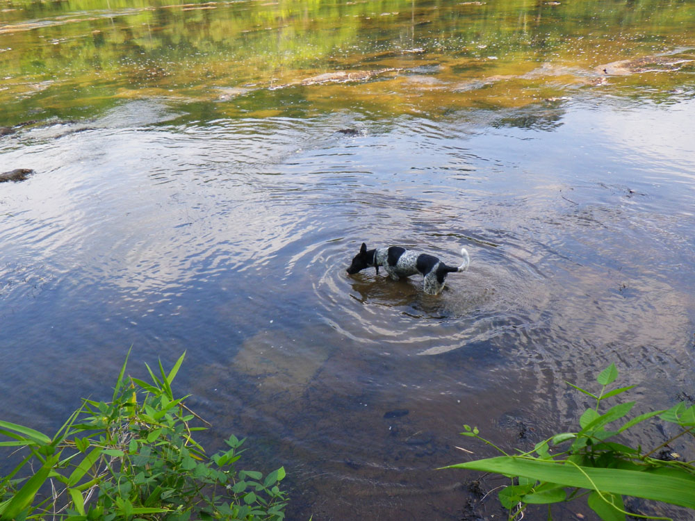
Your journey of discovery is not over – there’s more but the going gets tougher when you walk past the homestead. The gentle sloping hills intersect a ridge line and the incline gets steep and dicey. Don’t attempt to climb the ridge and resist the urge to stagger down to the river; it’s simply too narley. Instead, cut directly across but be careful, loose earth has covered the rock bed. Walk slowly or else you may twist an ankle. Make your way to 32° 52.103’N, 84° 28.727’W. The ridge will continue to rise and it will eventually push you down to the river where you’ll discover a couple of abandoned cars that have been rusting here for decades. It’s a real eye-opener to suddenly walk up on these old junkers. There’s no evidence of how they got here. Time for a long drink of water and a few photos. Then take a dip in the Flint River, cool down and re-charge. The most difficult section of the hike is next.
After you’ve inspected the abandoned cars and perhaps dislodged a piece for a souvenir get your game on and pull out your GPS and locate the road above you on top of the ridge. This is your destination, anyway that looks safe enough for you to climb out. Take great caution here. It’s silly steep. I hiked past the cars, around some massive fallen trees, and scaled up the ridge to exposed boulders and then was able to climb up to the road.
Once you’ve made to the road it’s all gravy from here on out. This is the Park road you drove in on. You can walk it back to the picnic area but I recommend you trail along the road 20 to 30 feet inside the woods. Besides, if you hike the road all the way back you’ll miss the final feature coming up.
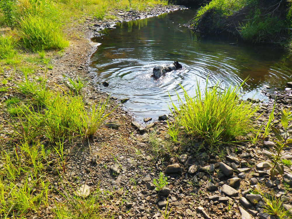
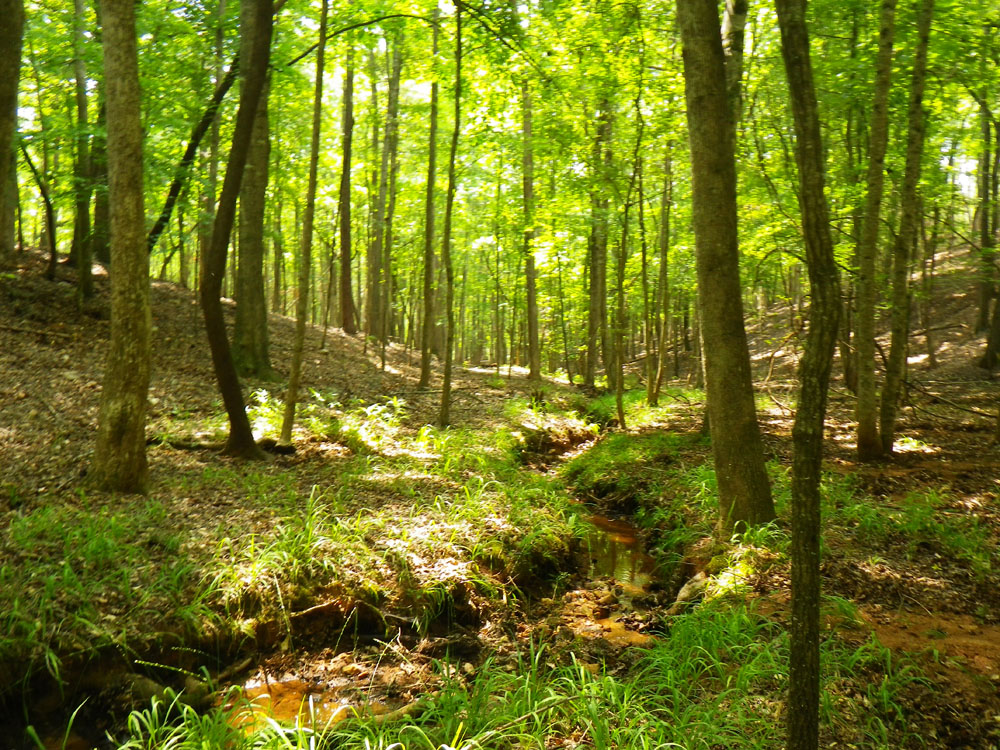
When you reach 32° 51.569’N, 84° 28.921’W cross the road and follow a shallow stream downward into the forest. It’s going to end up at the Flint river. This is much more rewarding that slogging along the Park road with cars roaring up your backside. The stream widens into a flowing creek peppered by groves of lush green ferns. This is a cake walk compared to what you just did a few hours ago. Feel all your anxiety slip away as you begin the hear the river. The creek will intersect a blazed hiking trail and you can take it back to the Recreation area to complete the loop. You’ll probably walk up on lots of people grilling out, relaxing, fishing and playing in the water. You, on the other hand, have just explored a part of Sprewell Bluff State Park that none of them will likely ever see in their entire life.
If you want to make this an overnighter, you can’t camp in the state park but I recommend The Flint River Outdoor Center about 8 miles away at 32° 50.263’N, 84° 25.475’W. The best spots for tent camping are across the river from the center. Number 22 is the one you want.
– Steve Tanner